- hongkong@a-c-i-d.com
- +852 3468 5250
- +852 9464 3243
- +852 3585 5599
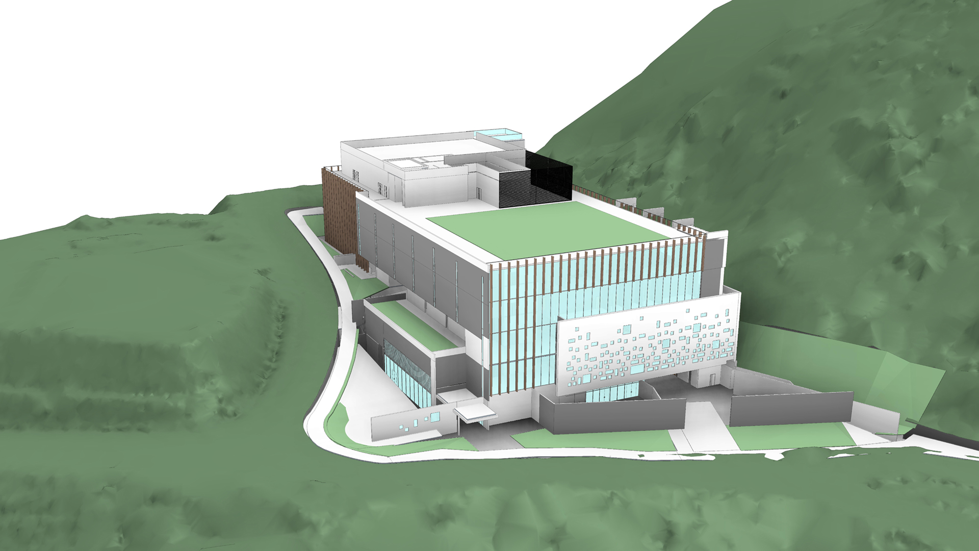
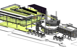
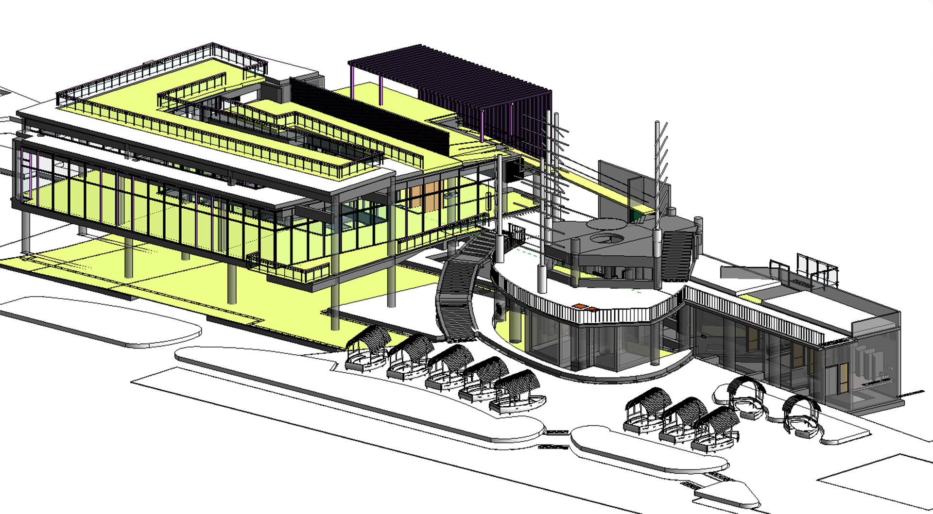
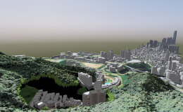
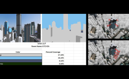
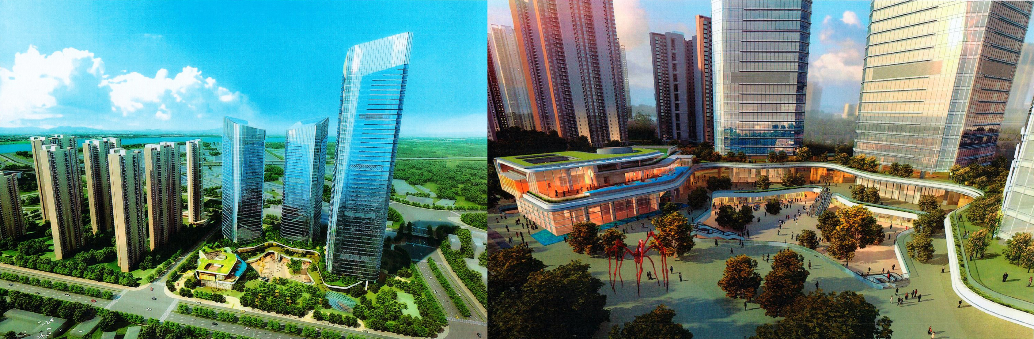
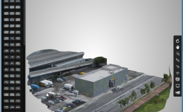
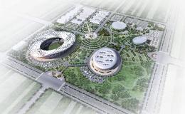
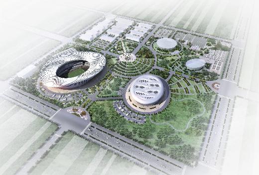
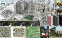
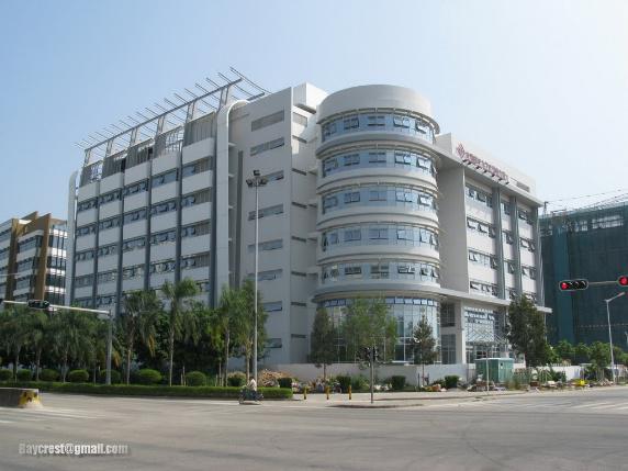
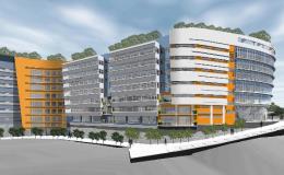
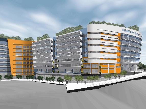
Sanya – A Digital City
Sanya – A Digital City
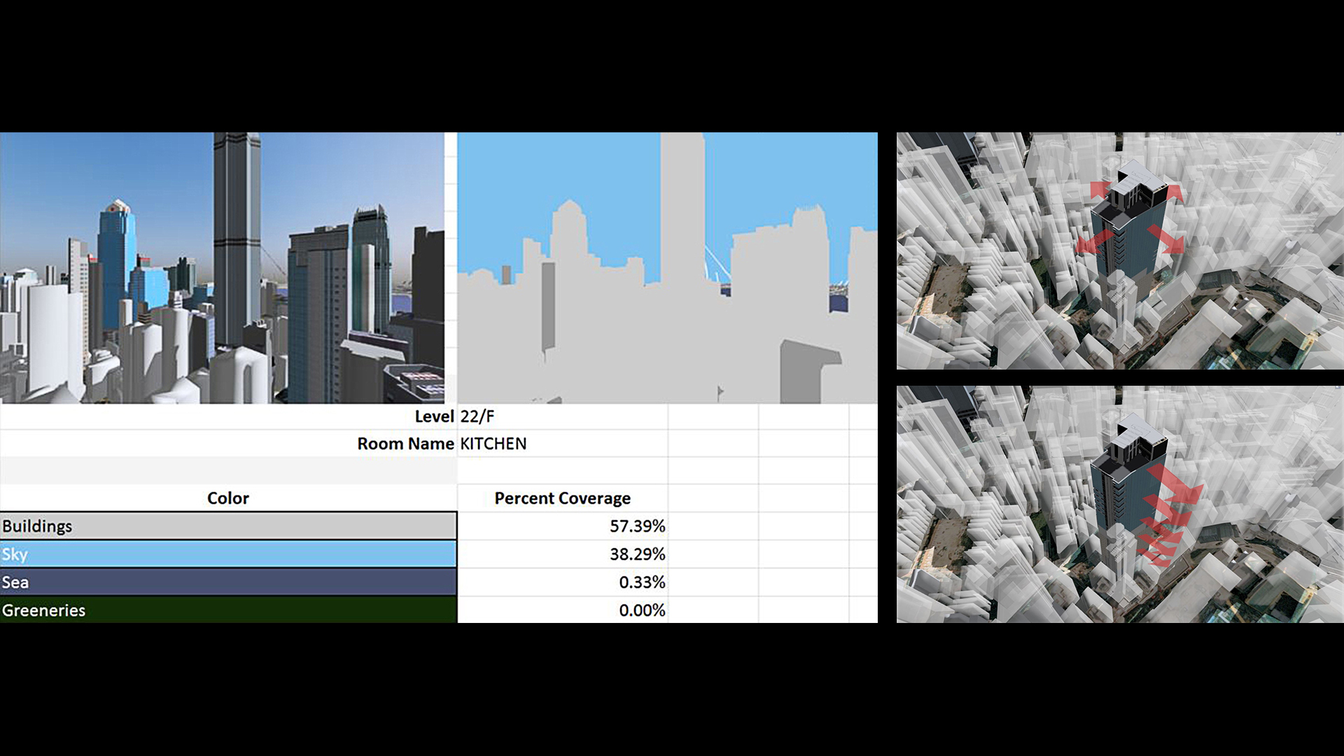
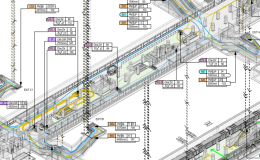
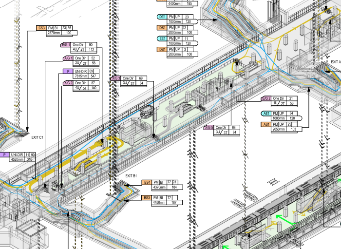
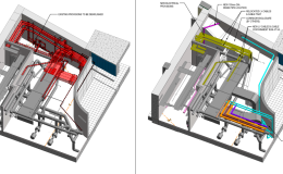
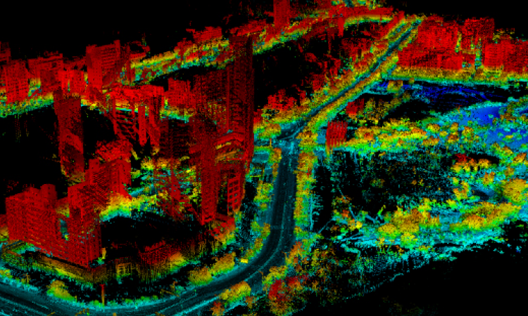
Scanning the roads, greened areas and buildings of the city with Point Cloud Technology. The scanning speed can be up to 50,000 points per second with less than 3mm deviation. The scanned area is as large as 300m. The generated point cloud data has been output to BIM software for model building and restoration in the virtual world. Such application took BIM to a whole new level and granted BIM a revolutionary concept, CIM (City Information Modelling), which can be applied in municipal management, city planning and traffic dispersion. Integrating with the data of drainage and electricity provided by the government departments, viewable objects (e.g. buildings, trees) and the non-viewable objects (e.g. underground drainage system, electricity system) in reality can be combined so as to provide accurate information on the roads and pipelines enhancement.